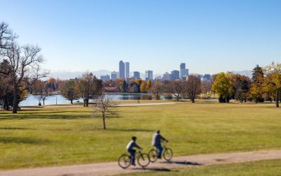
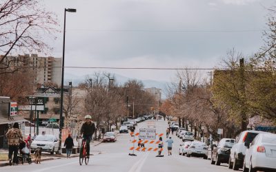
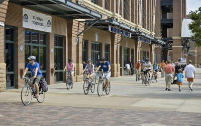
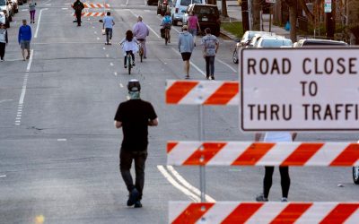
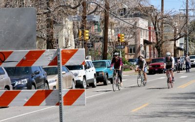
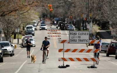
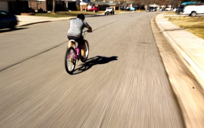
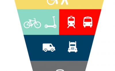
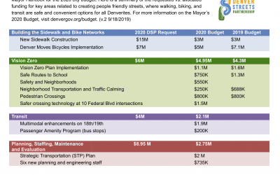
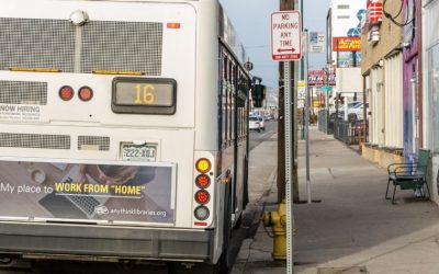
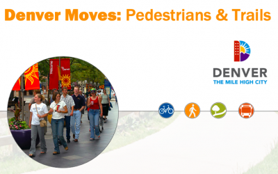
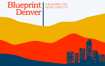
DSP Comments on the East Central Area Plan

DSP Comments on the East Central Area Plan

An important step toward realizing the vision and goals embodied in Blueprint Denver is the development of more detailed plans through Denver’s neighborhood planning initiative. Recently the City released the latest draft neighborhood plan for the East Central area....

Boulevard of Broken Hearts

Boulevard of Broken Hearts

Incomplete streets are anti-love. Join us in telling City leaders: adopt street design standards that put people first!

Denver Streets Partnership 2020 Budget Analysis

Denver Streets Partnership 2020 Budget Analysis

On May 6, 2019, the Denver Streets Partnership submitted recommendations to Mayor Hancock for the 2020 city budget. Here is a summary of the requested vs. allocated funding for key areas related to creating people friendly streets, where walking, biking, and transit...

Managing Denver’s Street Space: Putting People First

Managing Denver’s Street Space: Putting People First

Mayor Hancock’s Mobility Action Plan establishes the ambitious goals of reducing the proportion of people who drive alone to work from 73% to 50% and eliminating traffic fatalities by the year 2030. The Denver Streets Partnership (DSP) strongly supports these goals....

Santa Fe Streetscape Study

Santa Fe Streetscape Study

The City and County of Denver Public Works is working to identify, design, and develop pilot streetscape improvements for the Santa Fe Corridor between 8th Avenue and West Colfax Avenue. Santa Fe Drive is an important corridor within the Denver transportation network....

Hampden Corridor Vision Study

Hampden Corridor Vision Study

The Hampden Avenue corridor is a critical east-west arterial near the southern limits of the City and County of Denver serving residents, visitors, shoppers, and employers. The vision for Hampden Avenue is to increase corridor connectivity and provide multimodal...

Go Speer Leetsdale

Go Speer Leetsdale

The City and County of Denver's Speer/Leetsdale Mobility Study examined transportation connectivity and operational needs for travel modes within the Speer/Leetsdale Corridor — a prominent travel route for Denver residents and one piece of the larger travel movement...

Washington Street Study

Washington Street Study

The Washington Street Study Report identifies a vision for Washington Street as a mixed-use riverfront destination area that capitalizes on its adjacency to the South Platte River, a revitalized Washington Street, reinvented greenspace, and direct connections across...

Denver Moves: Pedestrians & Trails

Denver Moves: Pedestrians & Trails

Denver Moves: Pedestrians and Trails is a citywide plan for completing and improving sidewalks, street crossings and trails – the most essential elements of our transportation network. It also includes recommendations for enhancing our recreational trail network,...

Blueprint Denver

Blueprint Denver

Blueprint Denver, first adopted in 2002 and updated in 2019, is the City's land use and transportation plan for growing an inclusive and authentic city. The plan is about: Creating complete neighborhoods and complete networks everywhere in our city, to meet the needs...

Denveright

Denveright

Via the city’s three-year Denveright outreach and planning effort, input from thousands of Denverites resulted in plans for a more inclusive, connected and healthy city, for all who live here today, as well as neighbors of tomorrow. The first plan drafts were...

The Amazing Denver Mobility Race

The Amazing Denver Mobility Race

On April 4, 2019, the Denver Streets Partnership challenged three teams of municipal election candidates to work together to find the best route through Denver’s transportation system from three of the city’s less-connected corners to the Alliance Center downtown -...

×
Signup for our Newsletter
Stay up to date on the very latest people-centered transportation design and policy happenings across Denver.