Blueprint Denver is the City’s overarching land use and transportation plan that establishes a vision for how our city will grow over the next several decades, including goals for eliminating traffic fatalities; increasing transit, walking, and biking mode shares; increasing housing diversity; and preventing displacement. An important step toward realizing the vision and goals embodied in Blueprint Denver is the development of more detailed plans through Denver’s Neighborhood Planning Initiative.
The Denver Streets Partnership has been following the planning process in neighborhoods across the city, and highlighting the ways these plans support (or don’t) the creation of more people-friendly streets. Here, we share our comments on the recently-released draft of the West Area Plan. If you would like to leave your own comments, please go to the West Area Plan webpage and click “Submit general comments and questions” or scroll down on that webpage to leave comments directly on the plan.

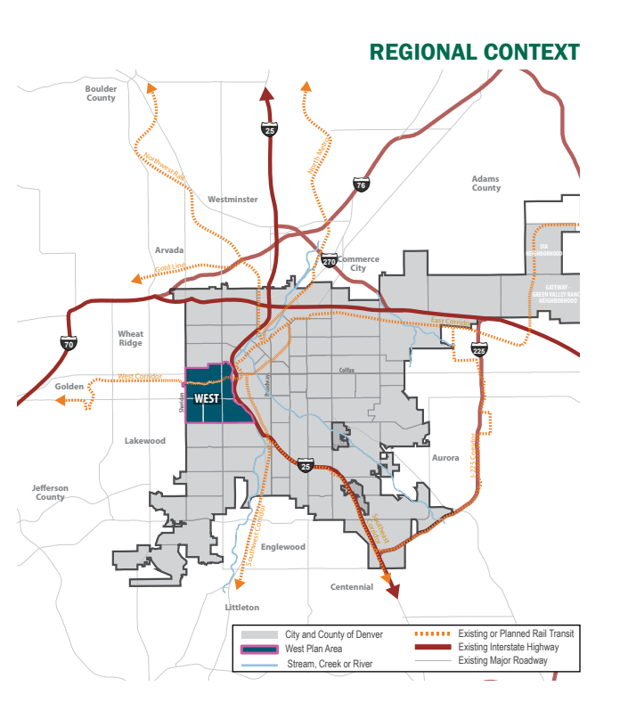
Screenshot from the draft West Area Plan.
The Denver West Area is approximately between Sheridan Boulevard and the South Platte River, and between 19th Avenue and Alameda Avenue in west Denver.
As the plan acknowledges, the West Area has experienced recent major highway expansions including that of I-25. Much of the West Area has been developed to prioritize car travel, creating communities that are unfortunately isolated from the rest of Denver by wide streets and highways. Bold steps need to be taken to transform the West Area into a people-centered place.
Pedestrian Improvements

DSP strongly endorses the overarching commitment in this plan to building out a complete sidewalk network area-wide. We recommend this commitment to be further reflected by including a goal to have a complete sidewalk network in the West Area in under 10 years.
Currently, 68% of all crashes in the West Area involve a pedestrian, and the West Area includes some significant high-injury corridors including West Colfax Avenue and Federal Boulevard. To have any chance of achieving the Denver Vision Zero goal of zero traffic fatalities by 2040 requires bold safety improvements to our public spaces.
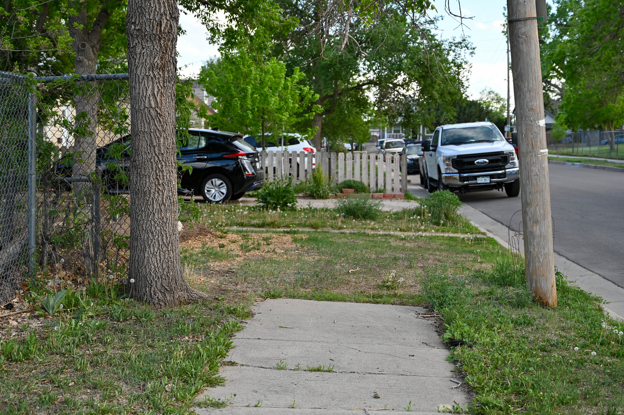
Dangerously narrow (68% of West Area sidewalks are less than five feet wide) and missing sidewalks (over 20% of Barnum and Sun Valley sidewalks) need to be quickly transformed into safe walkways for all. The DSP-backed Denver Deserves Sidewalks program, recently passed by Denver voters, allows for the necessary sidewalk improvements to be quickly implemented.
DSP endorses the plan’s commitments to reducing crossing distances, providing adequate lighting, installing appropriate way-finding and signage, adding additional green elements (plants, trees, etc.), and installing street murals.
Intersection crossings for pedestrians are currently hazardous and contribute to the needless fatalities and injuries on our roadways. As stated in the plan, speeding cars is a top concern of residents in the West Area (p. 15, p. 154). These intersection improvements as well as bicycle facility improvements are necessary to reduce dangerous speeding behavior.
We strongly encourage community members to add public comments to the plan to recommend critical intersection improvements (daylighting intersections, bulb-outs, medians, raised crosswalks, roundabouts, traffic diverters, etc.) in their neighborhoods.
Bicycle Improvements

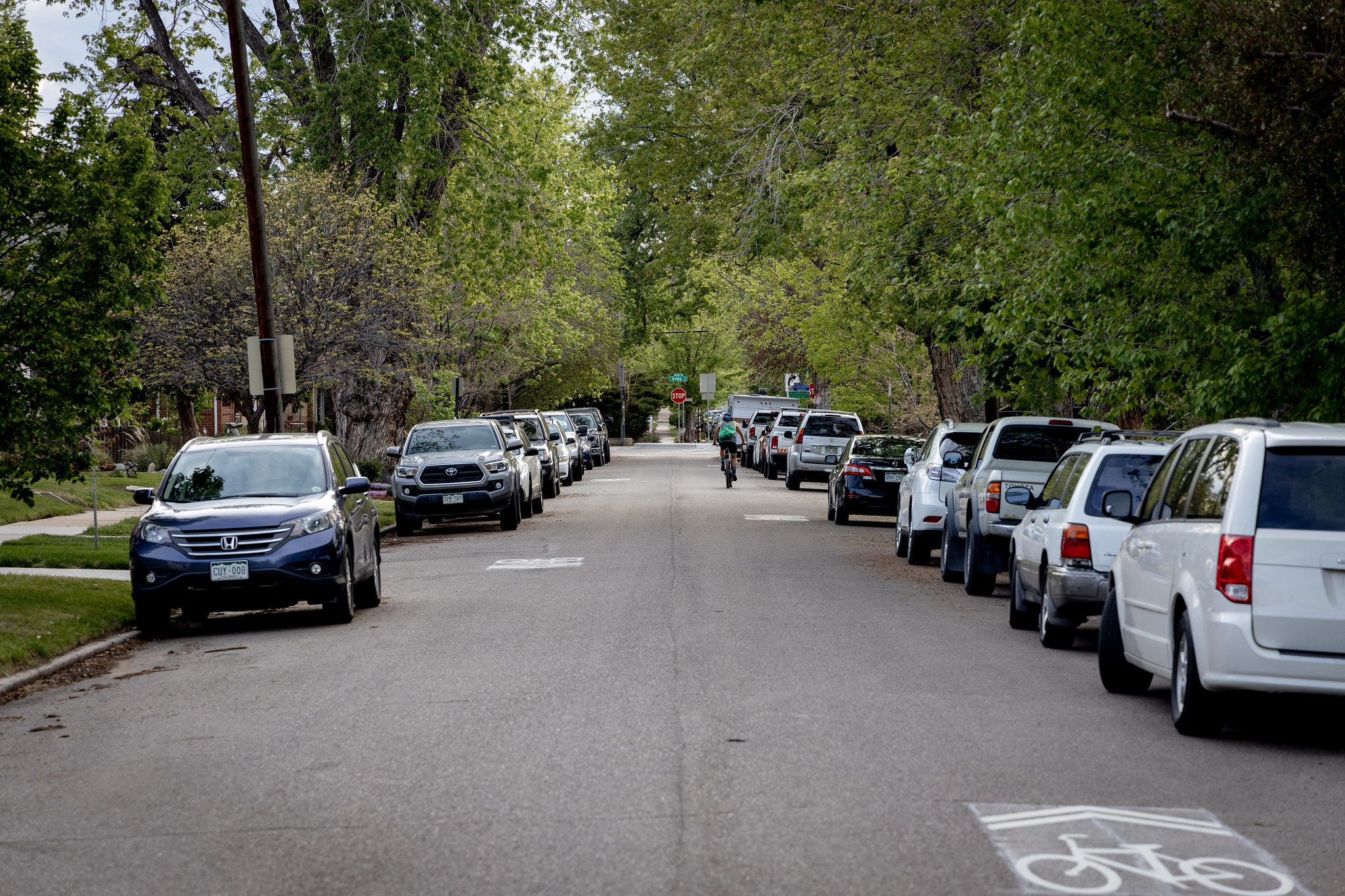
Photo credit: Rob Toftness
DSP strongly endorses the plan’s commitment to high comfort neighborhood bikeways that utilize roundabouts, traffic diverters, chicanes, lane reductions, and bulb-outs to truly create bike facilities that are for all ages and abilities. We recommend the plan explicitly state that sharrows and bicycle lanes without protection alone are not adequate infrastructure for a bicycle route to be designated as “high comfort.”
Currently, there is a lack of bicycle route connectivity broadly across the entire West Area, especially in terms of north/south connections. The bicycle facilities that do exist are often just painted lines on pavement, which do not provide important protection and separation from moving motor vehicles. With the immense popularity across the city of the Denver Office of Climate Action, Sustainability, and & Resiliency’s e-bike Rebate Program, safe and connected bicycle routes are needed to keep increasing numbers of people riding bikes safe.
The WAP calls for wayfinding and north/south bicycle connectivity to access trails, work, schools, and public amenities. DSP encourages community members to offer comments on what streets would best connect their homes north/south as well as east/west.
Transit Improvements

The DSP recommends the WAP to increase 2040 transit mode share to over 30% and to explicitly call for feasibility studies to be short term, with a goal of providing enhanced transit amenities to Denverites as soon as possible.
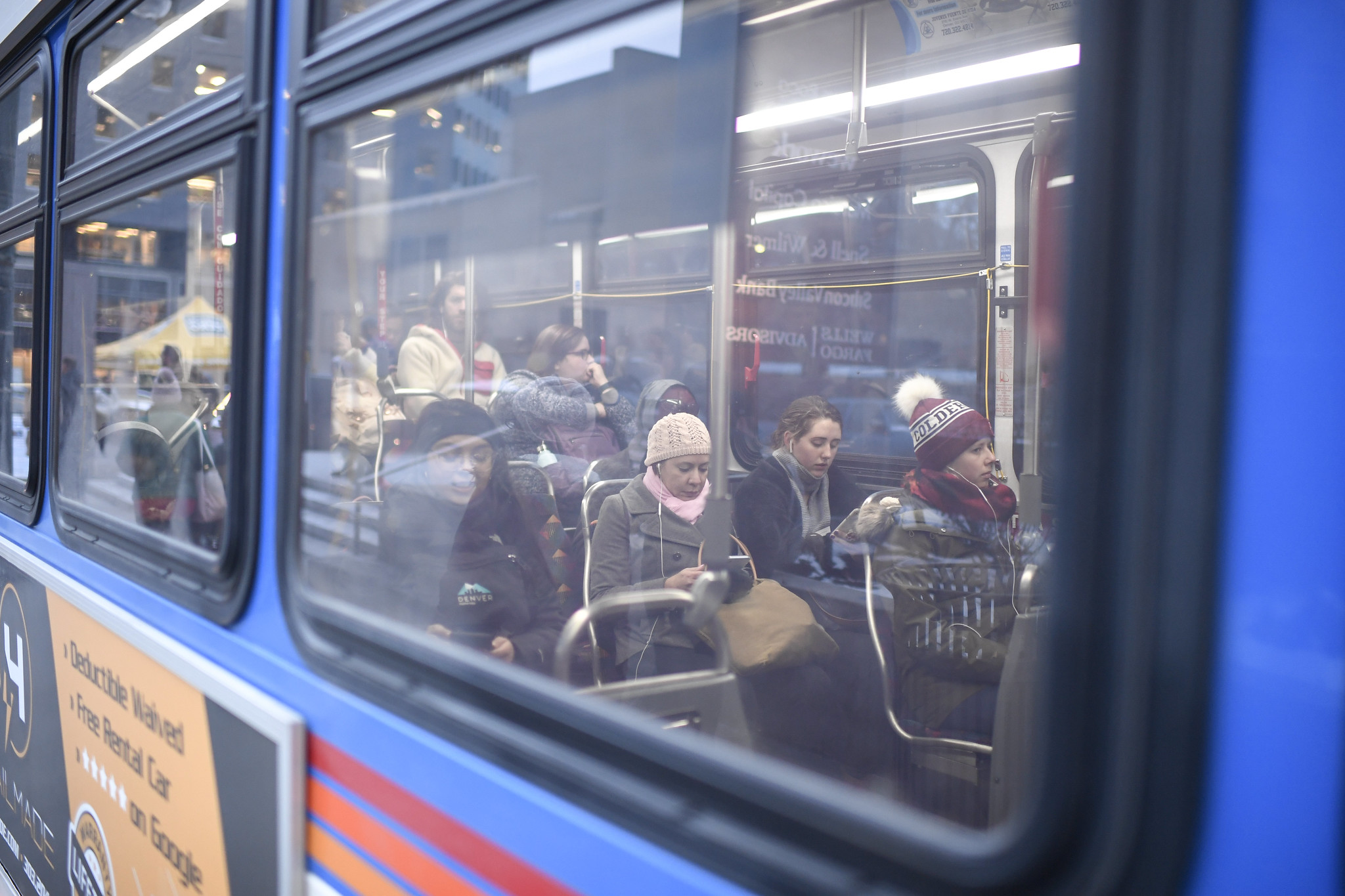
The WAP sets a 2040 transit mode share goal of over 15%, meaning that the goal is to have 15% of travelers using transit to get around by 2040. They aim to achieve this goal by elevating all transit stops to the city’s current Department of Transportation and Infrastructure basic standards and to study the feasibility of adding several mobility hubs. These hubs would provide amenities such as real time transit information, ticketing kiosks, multimodal resources, street furniture, improved lighting, solar powered charging kiosks, and public restrooms. The plan also calls for the implementation of the Denver Moves recommendations of dedicating transit only lanes and providing full bus rapid transit along Colfax Avenue and Federal Boulevard.
DSP is broadly supportive of these initiatives and believes that the WAP goals should be set even higher. Having high capacity, high frequency, and reliable transit should be the standard in the west area to meet the community’s transportation and safety needs. As the plan already sets a goal of reducing single occupancy vehicle mode share to under 50% by 2040, the transit mode share goal should be increased to make this feasible. Additionally, feasibility studies should be carefully designed to efficiently and quickly be completed in the short term so that much needed transit amenities can be provided to the west area.
Land Use
DSP supports land use policies that increase density and affordable housing around transit corridors, and encourages community members to comment on specific opportunities to improve the west area’s land use goals.
Land use policies are intricately connected to the success of the west area’s mobility goals. Density near transit increases the number of people who can access and utilize it on a regular basis. Higher density allowances in zoning allows more people to live close to their daily destinations and makes walking and biking a viable option for getting from place to place. The low density residential policies currently in place ensures that people will not live close to where they need to go and makes a personal automobile a requirement for many Denver households.
Conclusion
The West Area Plan is a vision of what this vital part of Denver will be in the coming years. This vision will only be at its best if it reflects the myriad of community needs in this diverse area. Public input is crucial to ensure that Denverites feel proud of the Denver of tomorrow. If you would like to leave your own comments, please go to the West Area Plan webpage and click “Submit general comments and questions” or scroll down on that webpage to leave comments directly on the plan. The DSP appreciates the community engagement, data analysis, and discussion that informed the development of the draft WAP and looks forward to an equitable, vibrant Denver whose public spaces are designed for people.
