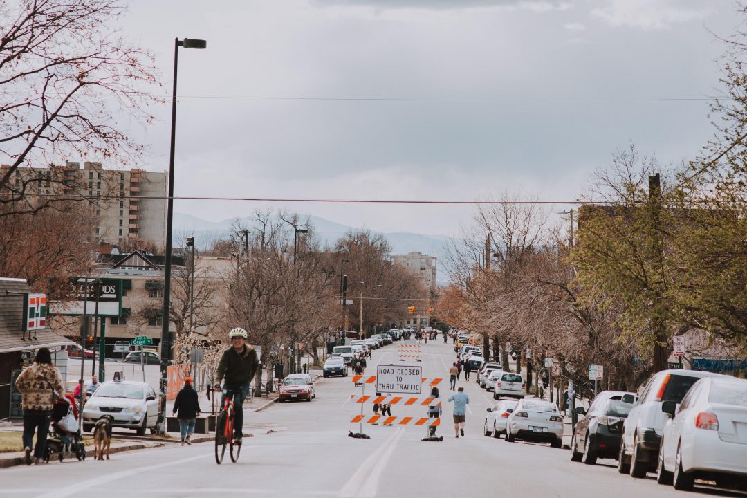
May 13, 2020 – In early April, Denver closed four streets in order to give people more space for walking, cycling, and enjoying the outdoors during these difficult times. In total, 26.1 miles of roadway were made mixed-use in response to the pandemic.
Good data collection on this new infrastructure is essential to justify changes, capture usage trends, communicate with stakeholders and inform future planning. Denver Streets Partnership – a non-profit that aims to reclaim Denver’s streets for people walking, rolling, biking, and using transit, and to build safe, healthy and equitable communities – sought to measure the impact of Denver’s street closures.
Part of the SPIN Mobility Data for Safer Streets initiative, Denver Streets Partnership used a Mobile-MULTI bike and pedestrian counter – a combination of our PYRO and TUBE counters – to capture bike counts on these “people first” streets. The closed streets were a hit.
On some days, bike counts were nearly triple what they were during the 2015 baseline period, illustrating just how much residents were benefiting from the changes. On one street, 16th Avenue in North Capitol Hill and City Park West, an average of 1026 people per day used the street between April 8th and April 19th.
Denver Streets Partnership also drew on data from SPIN bikeshare rides and found similar trends. One closed street saw a 1394% increase in ridership since the implementation of the safe street corridors! With this vital data in hand, the advocates will make the case that some of the infrastructure remain a permanent feature of the city’s active transportation landscape.
See the full article at eco.compteur.com
