The Weir Gulch Trail in Barnum gets playful upgrade
In May 2017, WalkDenver and the Denver Community Active Living Coalition (CALC) installed a fun new wayfinding art project in the Barnum neighborhood. Last June, the neighborhoods of Athmar Park, Barnum, and Sunnyside won $1000 each for a neighborhood-designed walkability project by collecting the most data about sidewalks and intersections as part of the WALKscope Data Challenge.
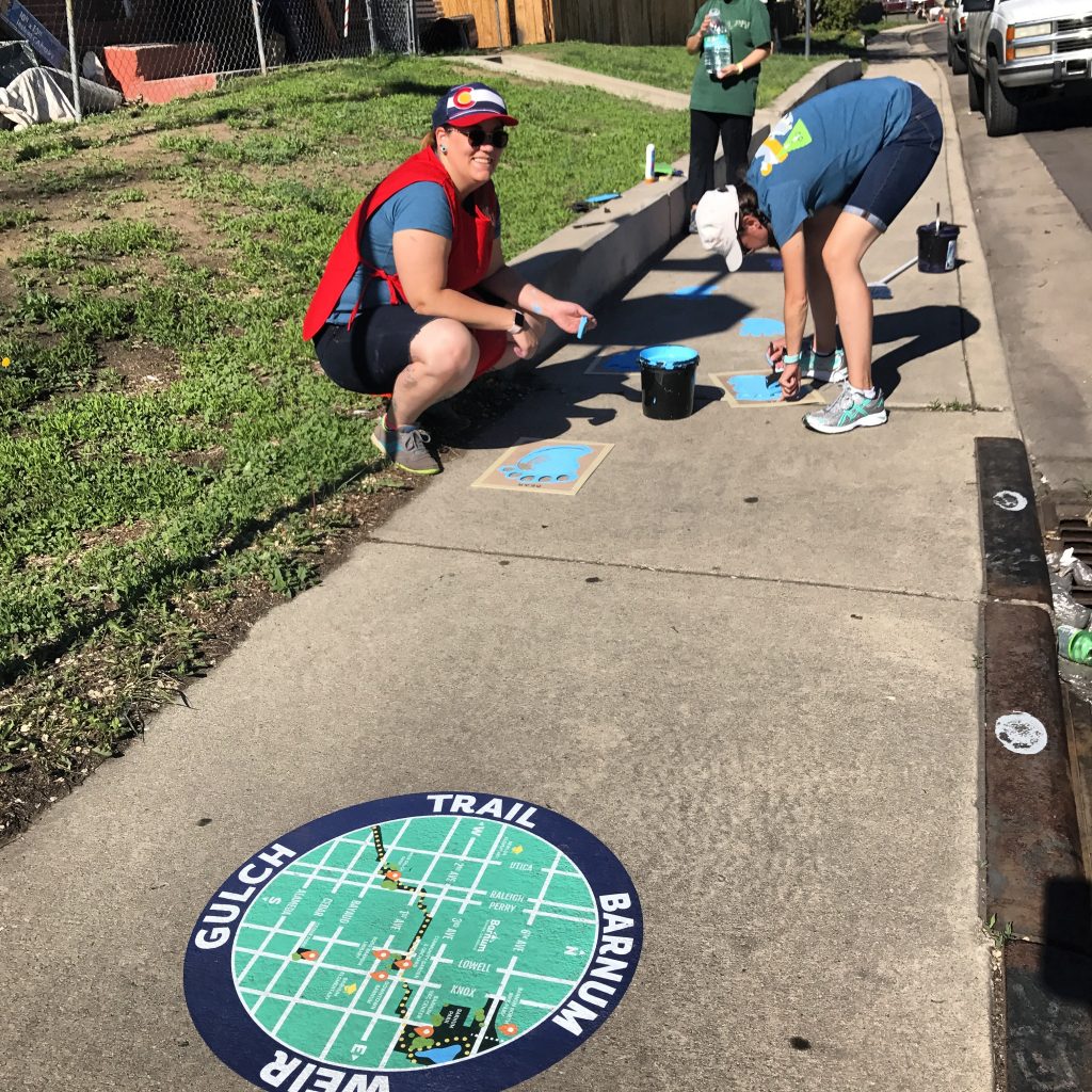
Barnum community members decided on a wayfinding project for the Weir Gulch Trail to help people find their way along the disconnected trail path and access local destinations. Large decals with a map depicting the trail and local destinations were installed at key locations along the trail prior to Saturday’s installation. Community surveys pointed out a segment of the trail that runs along W 2nd Avenue between Lowell Blvd and Knox Ct as particularly in need of wayfinding signage.
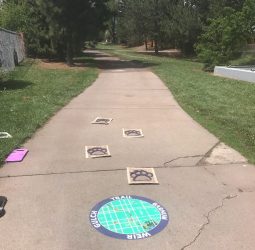
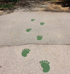
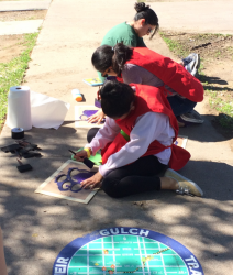
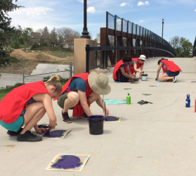
Volunteers painted sets of paw prints that will help trail users find their way along the pedestrian and bicycle path that frequently disappears and reappears. Because the much of the land that eventually became the Barnum neighborhood was named after and once owned by P.T. Barnum of the Ringling Bros. Barnum & Bailey Circus, a variety of circus animal paw prints were chosen as the design for the “breadcrumbs” that will help people walking and biking follow the trail. They can be found along the path from Weir Gulch Park at Bayaud & Utica to the 6th Avenue bridge that connects Barnum Park and the new BMX park. The stencils and map decals were designed by a local artist who lives in the neighborhood.
Here are some more photos from the event – thanks to project artist Tiffany Huisenga for sharing these!
 .
. 
 .
.